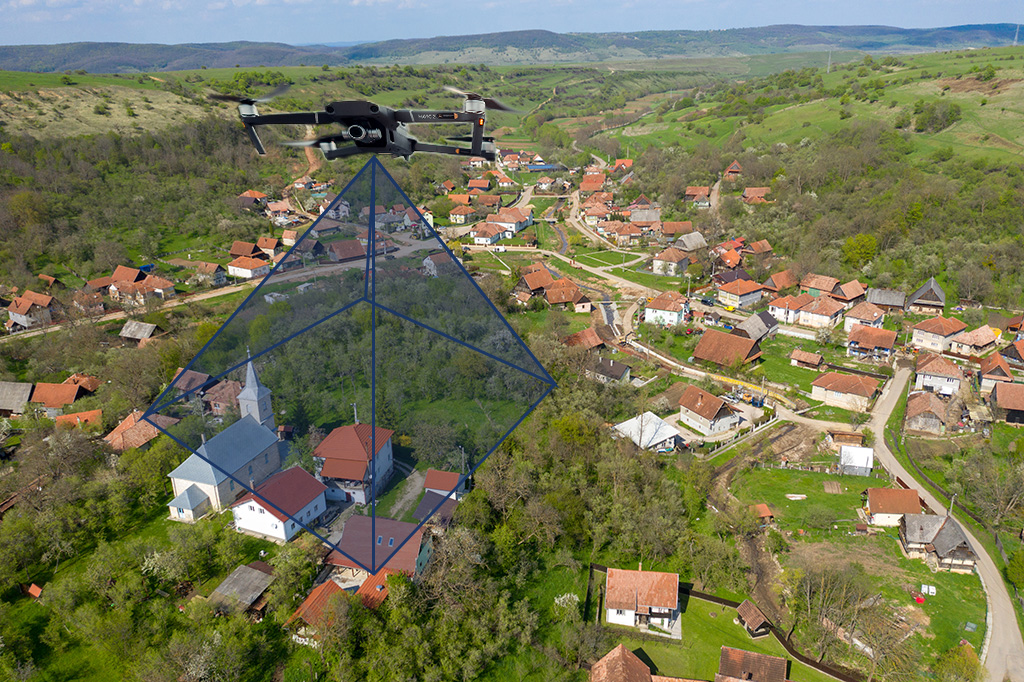
Principles of Remote Sensing and Mapping Using Drones
As with any new technology while in the “wild west” stage of development, unfounded, erroneous assumptions are made by practitioners about the positional accuracy of their mapping products.
As with any new technology while in the “wild west” stage of development, unfounded, erroneous assumptions are made by practitioners about the positional accuracy of their mapping products.