Aerial Services Inc. captures high quality, high resolution, and accurate geospatial data used for terrain mapping, vegetation analysis, remote sensing, orthophotography, aerial enlargements, and GIS applications. For over 50 years, ASI has built upon their reputation of excellence in the geospatial industry by delivering results quickly and efficiently.
Multiple acquisition methods offer cost-effective aerial surveys for projects of all sizes & scopes.
T206 Cessna (x3)
Turbocharged single engine
125 mph cruising speed
Ceiling 20,000 ft.
Ideal for wide area or corridor projects.
Piper Navajo
Turbocharged twin-engine
165 mph cruising speed
Ceiling 25,000 ft
Ideal for large, wide area projects.
Bell 206 Helicopter
Cruising speed 110 knots
Meeker belly mount (Lidar)
Meeker nose mount (Obliques)
Ideal for corridor projects.
UAS
Our UAS solutions provide high-density lidar, high resolution orthoimagery, and oblique imagery with the same professional mapping solutions as our traditional aerial surveying.
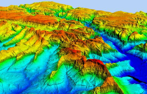
ASI LiDAR Systems
Aerial lidar (light detection and ranging) is a mapping technology that uses lasers to measure the precise distance to objects on Earth’s surface. An aircraft equipped with a lidar sensor flies over an area, sending out laser pulses and recording the time it takes for each pulse to return. This data is then used to create highly accurate 3D maps and models of the terrain and man-made structures below.
Recent advances in lidar technology, such as multiple intensity returns and increased pulse repetition rates, have made it an even more powerful tool for mapping and surveying.
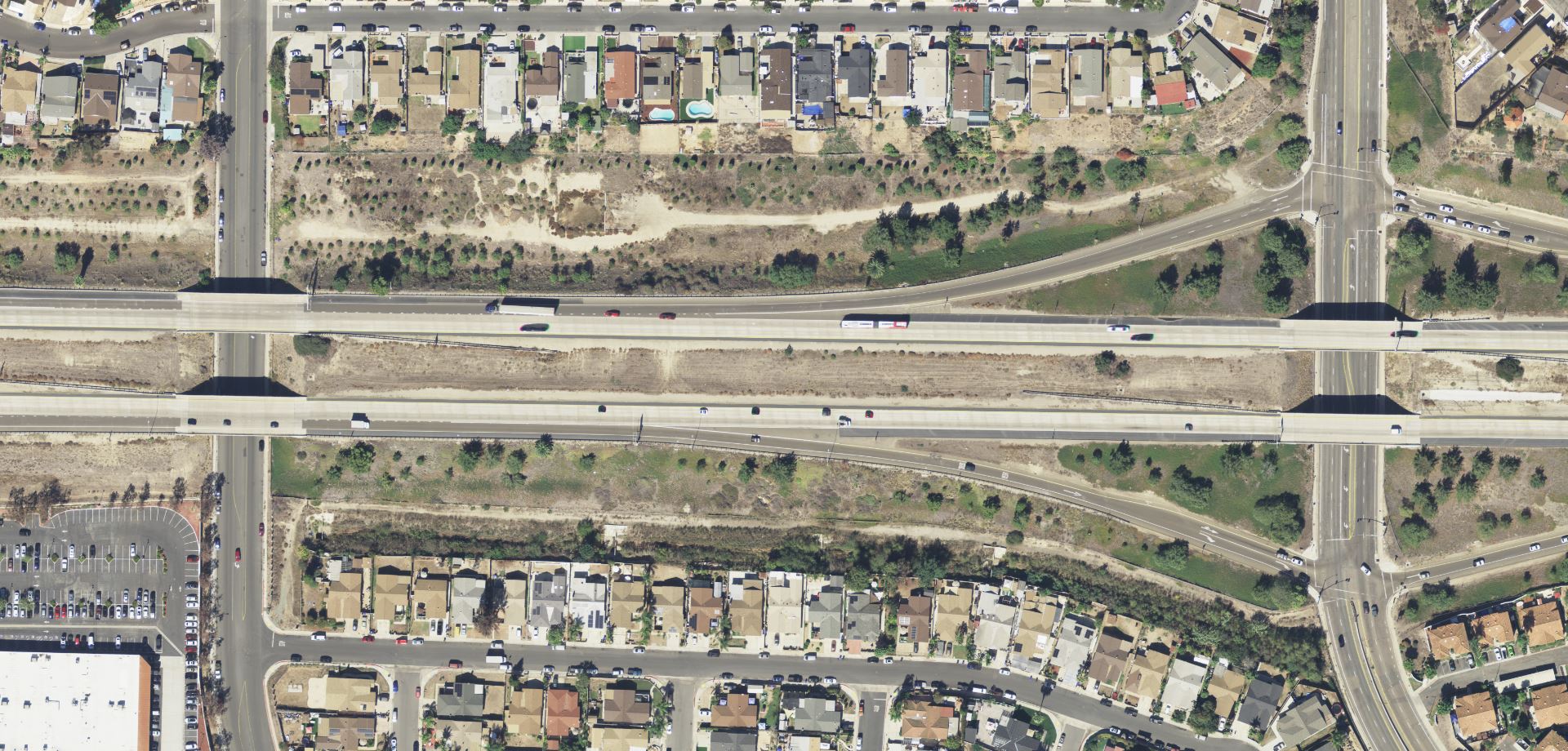
Large Scale Image Capture
ASI large format digital cameras capture stunning full-color 4-band (RGB, Ir) aerial photography and provide maximum coverage of your AOI increasing efficiency in collection. Large scale image capture is used for a variety of applications, including mapping, surveying, 3D modeling, and disaster response.
Mapping: Large scale aerial images can be used to create detailed maps of an area, including roads, buildings, and other features. These maps can be used for planning and designing infrastructure projects, managing resources, and monitoring hazards.
Surveying: Large scale aerial images can be used to survey an area and create accurate measurements. This information can be used for construction projects, engineering projects, and environmental management.
3D modeling: Large scale aerial images can be used to create 3D models of an area. These models can be used for a variety of purposes, such as inspecting structures for damage, planning repairs, and creating virtual tours.
Disaster response: Large scale aerial images can be used to assess the damage caused by a natural disaster, such as a hurricane, tornado, or earthquake. This information can be used to coordinate relief efforts and prioritize repairs.
Our Ultram large format capabilities provide crisp orthoimagery at multiple GSDs and spectrums (RGB, NIR).
Our lidar systems provide high-speed and incredibly accurate elevations at a wide variety of densities on fixed-wing and helicopter aircraft over large and small areas.
Medium format camera system offering exceptional imagery quality. This system is typically used in conjunction with our Leica lidar systems and the Snyp’Air corridor system.
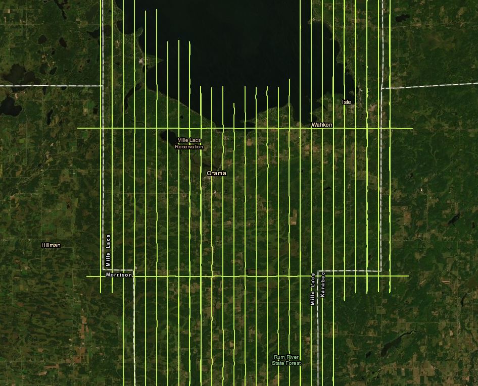
Your Project's Success Begins With Pre-flight Planning
The ability to collect and create high accuracy geospatial data begins with flight planning. Our experienced acquisition team evaluates requested criteria and ASI capabilities, then begins creating and executing the data acquisition plan based an assortment of factors and variables. Some of the factors that are evaluated and determined for each data acquisition plan include: