SERVICES
Aerial Lidar
ASI specializes in the acquisition and processing of lidar data for a multitude of applications. With our fleet of aircraft and Riegl Lidar sensors, our geospatial professionals collect and process highly accurate elevation data for projects in a wide variety of land cover types nationwide from mountainous terrain to forests, crops, and other dense vegetation. Once acquired, ASI’s Lidar Scientist utilize the latest geospatial software to calibrate, classify, and produce lidar derivatives. Rigorous quality controls measures ensure all ASI lidar data consistently exceeds national mapping standards.
Why Choose ASI For Your Lidar?
Experience
Our team has collected hundreds of thousands of square miles of high-quality lidar nationwide for a multitude of applications
Accuracy
ASI lidar data exceeds national mapping standards.
Technology
We use technology from trusted brands like Riegl and Leica
Expedience
With over 30 experienced geospatial professionals on staff, data moves rapidly from acquisition to finished product and into the hands of the client
Common Applications:
- Terrain Analysis, DEM, DTM
- Transportation Planning
- Utility Design and Monitoring
- Engineering Applications
- Volumetric Studies
- Obstruction Analysis
- 3D Modeling
- Municipal GIS
- Change Detection
- Land Use Mapping
- Forestry Mapping
- Floodplain Evaluation
- Urban Planning
- Watershed Analysis
- Airport Facilities Survey
Beyond Lidar Acquisition
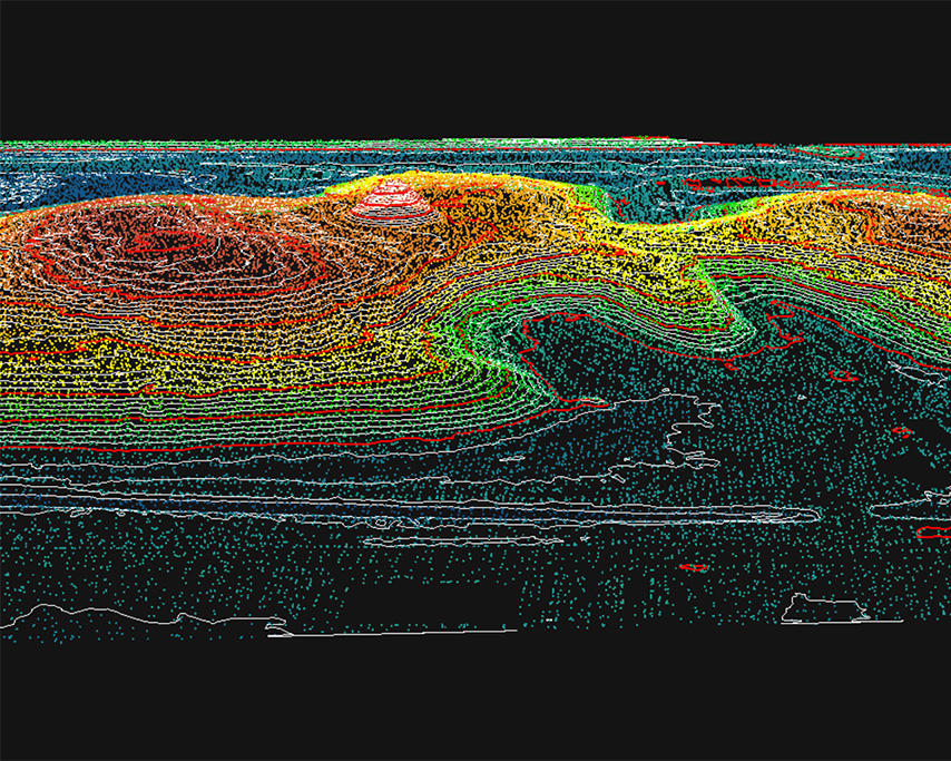
Topographic Mapping (Contours)
Topographic surveys provide accurate digital information about land elevation and man-made features. ASI uses a multitude of acquisition platforms and sophisticated software to deliver highly accurate elevation data.
Our geospatial professionals will consult with you to determine information such as project size, terrain, and the use for such surveys, we work with clients to determine the most cost-effective aerial surveying method and mapping solution. Choosing the right method can often be critical for the overall financial success of your project.
Vegetation Analysis
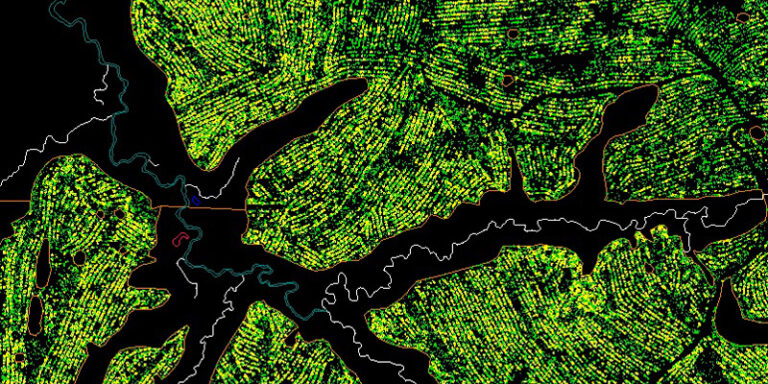
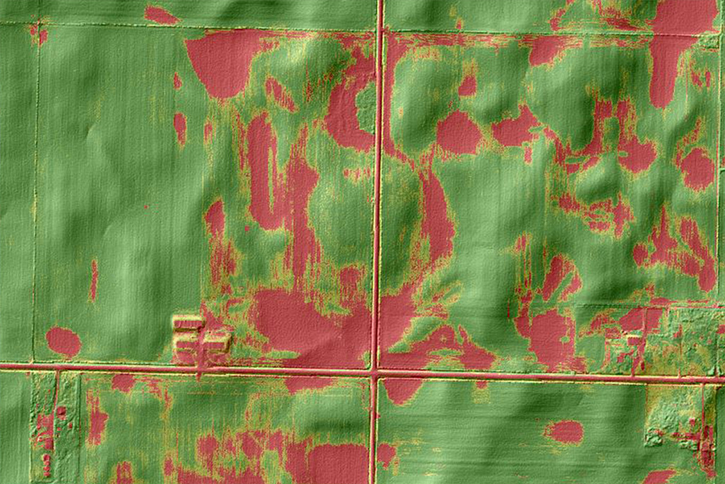
ASI produces lidar for vegetation analysis for a wide variety of applications. Lidar data is one of the most comprehensive and accurate data sources for measuring vegetation structure. Our vegetation studies provide functional information to assist utility stakeholders, city planners, agriculture professionals, forest managers, and more.
APPLICATIONS FOR VEGETATION ANALYSIS:
- Wildfire prevention & management
- Energy Transmission Infrastructure
- Erosion control
- NDVI Studies – Danger Tree Analysis
- Agriculture
- Renewable Energy Mapping
- Urban Forestry Survey
- Tree loss evaluation for Planting & Preservation

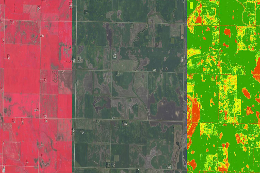
NDVI Analysis
Normalized Difference Vegetation Index (NDVI) quantifies vegetation by measuring the difference between near-infrared (which vegetation strongly reflects) and red light (which vegetation absorbs). The cell structures that make up the plants reflect the near-infrared (NIR) waves. When photosynthesis occurs, the plant will develop and contain more cell structures. This relationship between light and chlorophyll is how we can use NDVI to tell apart a healthy vegetation from a diseased.
Common Applications for NDVI Analysis
- Assess Forest Health
- Transmission Line Corridors (Danger Tree Analysis)
- Agriculture Crop Health
.
