Ortho mosaic imagery is a powerful tool that is revolutionizing the way we view and analyze our world. This type of aerial imagery is created by seaming together high-resolution images of an area to create a seamless, georeferenced, and orthorectified mosaic. The resulting image provides a detailed and accurate representation of the ground surface that can be used for a variety of applications.
In this blog post, we’ll explore what ortho mosaic imagery is, how it’s created, and the many ways it’s used.
 What is Ortho Mosaic Imagery?
Ortho mosaic imagery is a type of aerial imagery that is created by seaming together high-resolution images of an area to create a seamless, georeferenced, and orthorectified mosaic. The individual images can be taken from a variety of angles and heights to capture a complete view of the area of interest. These images are then processed using specialized software to create a final ortho mosaic image.
The orthorectification process is an essential step in creating ortho mosaic imagery. It involves correcting the geometric distortions caused by the varying terrain and camera angles during the image acquisition process. The result is an accurate representation of the ground surface that can be used to measure distances, areas, and volumes with high accuracy.
Ortho mosaic imagery is typically acquired using fixed wing aircraft, which are equipped with high-resolution cameras capable of capturing detailed images of the ground surface.
How is Ortho Mosaic Imagery Used?
Ortho mosaic imagery has a wide range of applications across various industries. Here are some of the ways ortho mosaic imagery is used:
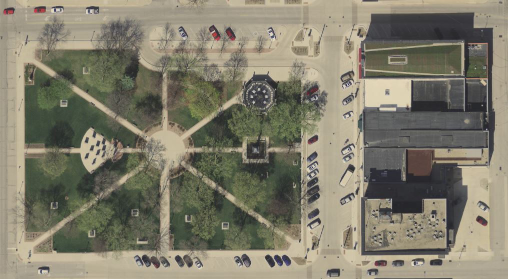
Mapping and Surveying
Ortho mosaic imagery is used in mapping and surveying applications to create detailed maps of an area. The accurate measurements that can be obtained from ortho mosaic imagery make it an essential tool in land-use planning, infrastructure development, and environmental monitoring.
Agriculture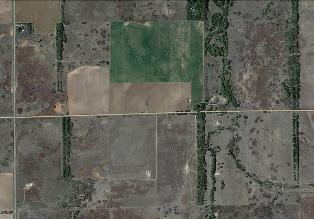
In the agriculture industry, ortho mosaic imagery is used to monitor crop health and growth. The imagery can be used to detect areas of stress or damage in crops, allowing for targeted interventions to be made. Additionally, ortho mosaic imagery can be used to create accurate topographic maps of fields, which can help farmers plan and optimize their operations.
Forestry
Ortho mosaic imagery is used in the forestry industry to monitor the health and growth of forests. The imagery can be used to identify areas of stress or damage in trees, allowing for targeted interventions to be made. Additionally, ortho mosaic imagery can be used to create accurate topographic maps of forests, which can help forestry companies plan and optimize their operations.
Mining
In the mining industry, ortho mosaic imagery is used to create accurate topographic maps of mine sites. The imagery can be used to monitor the progress of mining operations and to identify areas of interest for further exploration.
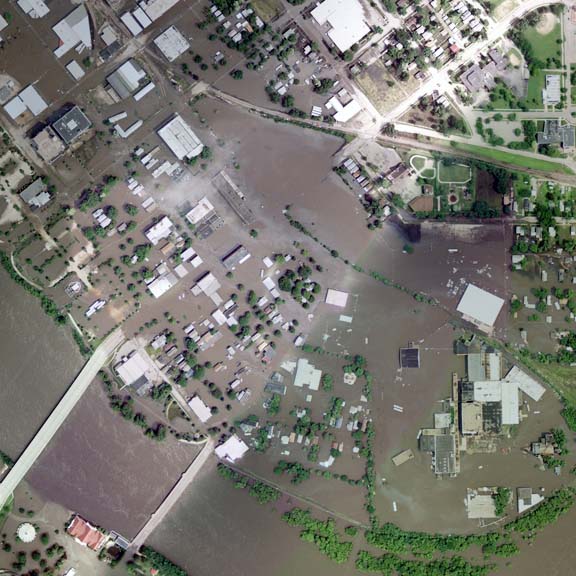 Disaster Management
Ortho mosaic imagery is used in disaster management applications to assess the damage caused by natural disasters such as floods, earthquakes, and wildfires. The imagery can be used to create accurate maps of affected areas, allowing for targeted mediation to be made.
Ortho mosaic imagery is a powerful tool that is revolutionizing the way we view and analyze our world. This type of aerial imagery provides a detailed and accurate representation of the ground surface that can be used for a variety of applications. From mapping and surveying to agriculture, forestry, mining, and disaster management, ortho mosaic imagery has a wide range of applications that make it an essential tool in various industries. As technology continues to advance, it’s likely that we’ll see even more innovative uses for this type of imagery. With its ability to provide accurate and detailed information about the ground surface, ortho mosaic imagery is poised to play an increasingly important role in shaping the way we interact with and understand our world.
