SERVICES
GIS
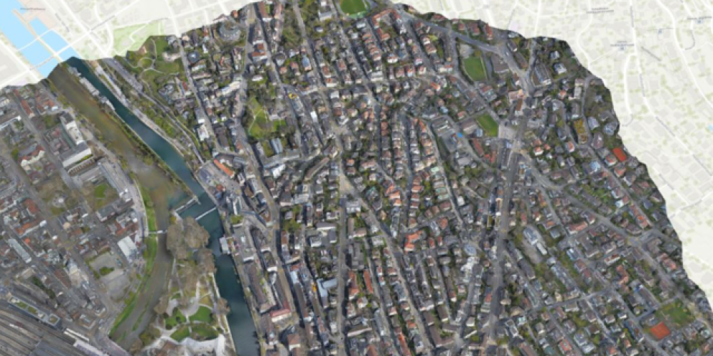
ASI provides aerial lidar and digital orthoimagery that is critical to general mapping and GIS data generation and visualization. In fact, the information contained in most maps and GIS layers was generated from imagery.
First, the imagery serves as a backdrop that gives GIS layers important context from which to make geospatial associations.
Second, imagery is used to create or revise maps and GIS layers by digitizing and attributing features of interest such as roads, buildings, hydrology, and vegetation.

Aerial Services, Inc. is a proud business partner of ESRI

Our GIS Solutions Seamlessly Integrate Into Any GIS Platform
Common Applications for ASI GIS solutions:
- Utilities
- Broadband Communicaiton Planning
- Urban Planning
Aerial Services, Inc. has the staff to help you grow in your GIS journey. We have GISPs with years of experience ready to provide you with customized training for individuals or your organization, and we can do it on-site or remotely. Whether looking to grow your basic GIS knowledge, learn more information on data conversion or data development, or looking for help with writing your custom applications, the staff at ASI is ready to help you achieve your goals.
Are you looking for consulting resources to help you grow your GIS? Our staff has experience with government and private sector GIS, and they are ready to work with you and share our knowledge on all things GIS. We are here to support you in all phases of GIS – from field to finish!
As the world constantly changes around us, the importance of accurate, up-to-date geospatial data on our environment and its resources has never been greater. ASI has offered value-based geospatial solutions to public and private sector Geographic Information Systems and mapping programs for 55 years.
ASI provides a full suite of digital processing, geospatial data, and mapping solutions to capture Earth’s ever-changing environment. Our 2D and 3D mapping specialists, photogrammetrists, LIDAR specialists, and flight crews are ready to capture develop, and deliver your geospatial solutions that will exceed your expectations.
Working within proprietary and open-source application development environments, ASI develops web and mobile geospatial solutions that can enhance and accommodate your project workflows throughout the entire project lifecycle and promote project stakeholder engagements. The staff at ASI is ready to help you with web-based interactive map visualizations, customized ESRI StoryMaps, and workflow enhancing GIS mobile applications.
Have an issue with your data and you’re not sure what the problem is? Ask us about ASI’s spatial data QA / QC capabilities.
Have a problem that you are using the GIS to try and solve? ASIs experienced GISPs are ready to share their knowledge on problem-solving using GIS technologies.


