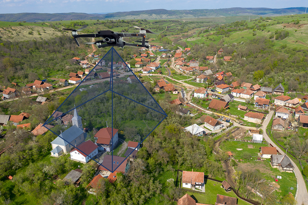
Principles of Remote Sensing and Mapping Using Drones
As with any new technology while in the “wild west” stage of development, unfounded, erroneous assumptions are made by practitioners about the positional accuracy of their mapping products.
Q&A: Remote Sensing & Mapping Drones

Surveyors are enjoying an added benefit of drones: survey grade accuracies from the air. These drone systems achieve superior efficiencies in the field for surveyors and lower costs for clients. Surveyors are increasingly adding drones to their arsenal of tools because of their growing utility.