Navigating the Current Job Market in the Geospatial Industry

“Acquiring the right talent is the most important key to growth. Hiring was — and still is — the most important thing we do.”
– Marc Bennioff
Introducing ASQ ASI
In a world where geospatial questions forge the frontier of understanding and innovation, we stand as your reliable partners in navigating this complex landscape. We are thrilled to introduce our “ASQ” (pronounced ask) ASI series, a dedicated platform that embodies our core values of Accuracy, Speed, and Quality, to address all your geospatial questions, concerns, […]
Promoting Pilot Happiness and Cultivating a Safe Working Culture in the Geospatial Industry

In the fast-paced and demanding field of geospatial services, ensuring the well-being and job satisfaction of survey pilots is paramount. A happy and contented pilot not only contributes to a positive work environment but also enhances productivity and safety. This article explores key strategies for keeping your pilots happy and fostering a safe working culture, […]
Taking Flight: The Unparalleled Benefits of Drones for As-Built Surveying

In the ever-evolving world of construction and infrastructure, the demand for accurate and efficient surveying data is paramount. Enter drones: the game-changers that have revolutionized as-built surveying. With their advanced technology and precise data collection capabilities, drones offer an array of compelling advantages over traditional methods. From enhancing efficiency and slashing costs to improving safety […]
Top 4 IT Solutions That Can Help Geospatial Companies with Remote Work Efficiency IV

Part IV: High-Speed Internet Connectivity Remote work heavily relies on fast and reliable internet connectivity. Therefore, investing in high-speed internet connectivity is an essential IT solution for geospatial companies to enable remote work efficiency. High-speed internet ensures smooth and uninterrupted access to geospatial data, cloud-based GIS software, and other IT solutions. It minimizes delays in […]
Tully Brothers Treasure Hunt II
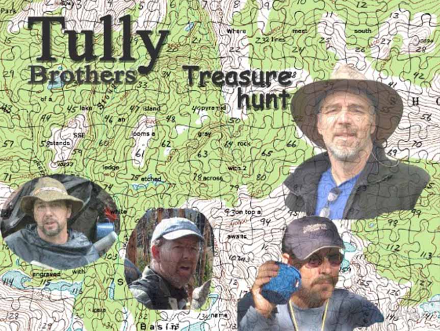
Part Two: Treasure Found! In 2019 two nephews loaded up their truck and backpacks and headed out to the Popo Agie Wilderness in Wyoming. Armed with their puzzle maps and the fruit of countless hours of deliberation over the clues and markings on the puzzles, they headed off to the presumed location of the treasure […]
Title: Top 4 IT Solutions That Can Help Geospatial Companies with Remote Work Efficiency III
Part III: Collaboration and Project Management Tools Efficient collaboration and project management are essential for geospatial companies conducting remote work. Fortunately, there are several IT solutions available that can help streamline communication, task assignment, and project tracking among remote employees. One popular collaboration tool used by many geospatial companies is Microsoft Teams. Teams provides a […]
A Day in the Life of a Survey Pilot

Aerial Services pilots, Alex and Mitch, show us what it’s like to fly for a geospatial services company. Filmed and edited by Mitch.
Tully Brothers Treasure Hunt I
Part One of a Two Part Story The excitement and allure of a treasure hunt have been a part of our culture for many years, thanks to iconic characters such as Indiana Jones, Lara Croft, and Jack Sparrow. To this day, buried treasure continues to captivate our imagination and fuel desires for adventure. It was […]