Radiometric Techniques and Processing Tips/Tricks

Radiometry is the science of measuring light in any portion of the electromagnetic spectrum. In practice, the term is usually limited to the measurement of infrared, visible and ultraviolet light using optical instruments. Irradiance is the intensity of light and is measured in watts per square meter. Radiometric Techniques are a set of methods used […]
Top 4 IT Solutions That Can Help Geospatial Companies with Remote Work Efficiency, A Four-Part Series: Part II

A VPN creates a secure and encrypted connection between remote employees and the company’s internal network, allowing them to access geospatial data and resources as if they were physically present in the office. VPNs provide an additional layer of security by …
Tradeshow Fodder

Netflix and Chill aka, Video Killed the Projected Logo At trade shows and conferences, companies often rely on sponsorship dollars to get their name in front of attendees. This typically involves a printed logo in the show’s pamphlet, or on banners scattered throughout the hall, or placement at special events hosted during the shows run. […]
Top 4 IT Solutions That Can Help Geospatial Companies with Remote Work Efficiency, A Four-Part Series: Part I

Remote work has become increasingly prevalent in geospatial companies, and implementing the right IT solutions is essential for ensuring remote work efficiency. This series will explore the top 4 IT solutions that can …
This is key to your survival. So why do 80% of Business owners hate doing this?

5 Steps on How to Politely Ask for Past Due Payments: A practical guide for growing your business. One of the most challenging aspects of managing your finances is dealing with past due payments. It can be uncomfortable to ask for money that’s owed to you, but it’s important to maintain a steady cash […]
Experience the Power of Ortho Mosaic Imagery: learn about its creation, uses, and wide-ranging applications.
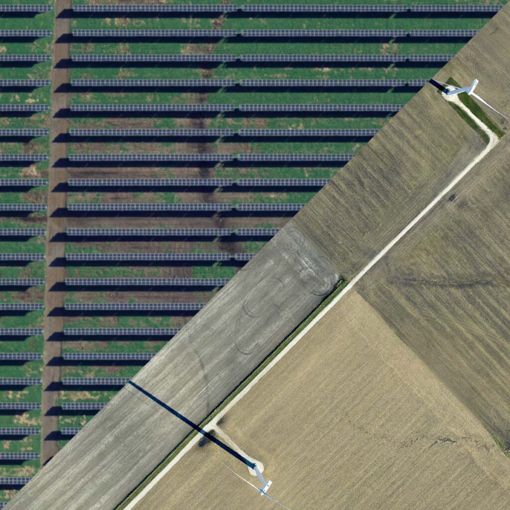
Ortho mosaic imagery is a type of aerial imagery that is created by seaming together high-resolution images of an area to create a seamless, georeferenced, and orthorectified mosaic. The individual images can be taken from a variety of angles and heights to capture …
Precision, speed, and flexibility – survey planes have got it all. Ready to soar?

What makes a survey plane special? When it comes to collecting geospatial data from the air, there are a lot of options to choose from. You could use a helicopter, a drone, or even a regular plane. But if you’re looking for a fast, efficient, and precise way to collect data, a survey plane is […]
What is the number 1 bestselling LiDAR data type?

There are four main types of LiDAR data: airborne LiDAR, terrestrial LiDAR, mobile LiDAR, and Bathymetric LiDAR. Each type has its own advantages and disadvantages depending on the specific application and project requirements. In this article, we will explore …
Automated Aerial Triangulation in Aerial Photogrammetry
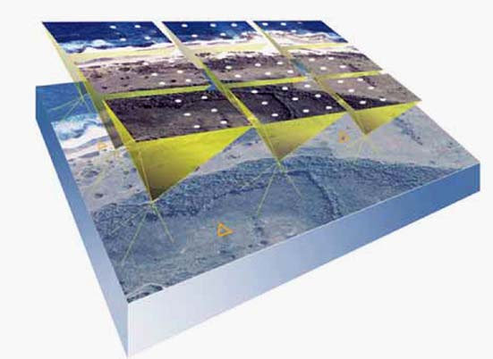
Aerial photogrammetry is a process of extracting information from aerial images captured by drones, aircraft, or satellites. It is an essential technique used in several fields like cartography, remote sensing, urban planning, and natural resource management. Automated Aerial Triangulation (AAT)