Earth on Demand
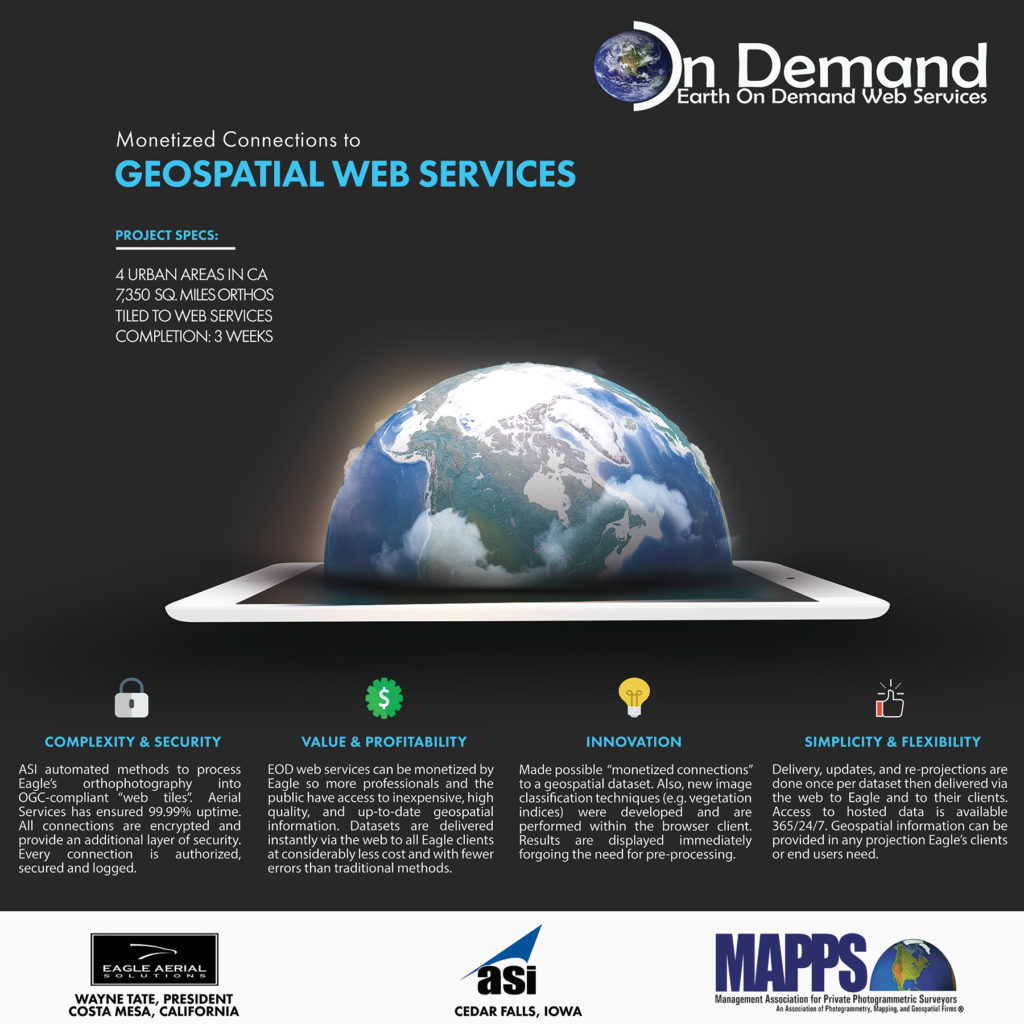
Earth On Demand Web Services™ is a cloud based geospatial streaming solution that supports Open Geospatial Consortium (OGC) streaming services and is compatible with all OGC supported software and APIs. The solution is capable of handling small to very large geospatial datasets. Security is very robust and flexible with multiple options for authentication and authorization. […]
Q&A: Remote Sensing & Mapping Drones

Surveyors are enjoying an added benefit of drones: survey grade accuracies from the air. These drone systems achieve superior efficiencies in the field for surveyors and lower costs for clients. Surveyors are increasingly adding drones to their arsenal of tools because of their growing utility.
Drones … There I said it!

“Drone”. It’s beautiful. It rolls off the tongue easily. It’s easy to spell. It has a long, storied history with our culture from science fiction and movies. It’s like Kodak. Memorable. Easy to remember. Impossible to misspell.
MAPPS President’s Award Won for 7th Consecutive Year!

Mike Tully, CEO of Aerial Services Inc., was presented with the MAPPS President’s Award by the MAPPS President Susan Marlow (Stantec, Nashville, TN). This marks the 7th consecutive year Mike has been the recipient of the award.
Internet Security for the Geospatial Professional

The Internet has lost its innocence. It is a dangerous place! Our antivirus scanners catch less than 5% of current threats to our safety and privacy.
The More You Know

Adware What it means: Adware is an annoying form of malware that bombards you with ads when you go online, or use certain programs on your device. Why it matters: Mostly, adware is just a nuisance. However, certain forms of adware go beyond annoying pop-ups. Some forms are able to collect marketing data based on […]
Press Release: USGS Awards Aerial Services

Aerial Services, Inc., (ASI) a veteran-owned small business, geospatial services firm has been awarded an U.S. Geological Survey (USGS) Geospatial Product and Service Contract (GPSC). The GPSC 3 contract is a 5-year indefinite delivery, indefinite quantity (IDIQ) contract with a total contract ceiling of
Dronepedia: Drone Education

Drones are quickly becoming a staple part of many industries. The need for trained, professional pilots and technicians is growing all the time.
Aerial Services, Altavian & sUAS

g small Unmanned Aerial Systems (sUAS) as a remote sensing and mapping tool has enabled Aerial Services to maintain its reputation as an industry leader in the geospatial community. Our commitment to exceed customer expectations is unwavering.